
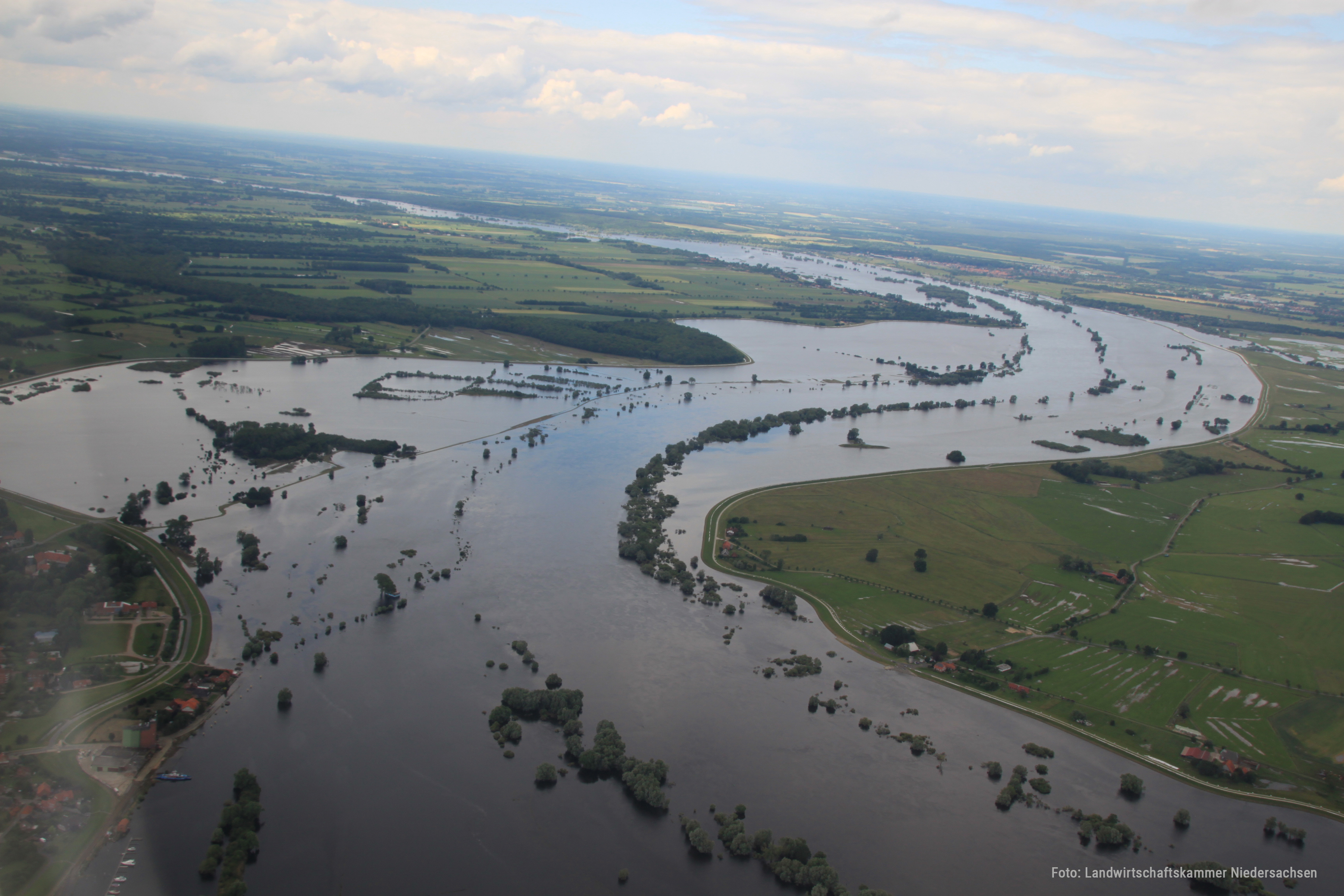
The flood in June 2013, here in the area...
The flood in June 2013, here in the area between Bleckede and Radegast, is one of the highest in the recent history of the Elbe. The treetops of the floodplain forest remnants in the floodplain are clearly visible as linear structures. To increase the safety of the dyke, it was reinforced with sandbags. Photographer: Landwirtschaftskammer Niedersachsen
Inga vyer har skapats för resursen.
OPERANDUM metadata
| Observation CSV file | False |
|---|
Additional metadata
| Senast uppdaterad | Oktober 20, 2022 |
|---|---|
| Skapad | Oktober 20, 2022 |
| Format | image/jpeg |
| Licens | Creative Commons Attribution |